Rabbits Marsh
Introduction
The photograph on this page of Rabbits Marsh by Simon Carey as part of the Geograph project.
The Geograph project started in 2005 with the aim of publishing, organising and preserving representative images for every square kilometre of Great Britain, Ireland and the Isle of Man.

There are currently over 7.5m images from over 14,400 individuals and you can help contribute to the project by visiting https://www.geograph.org.uk
Rabbits Marsh
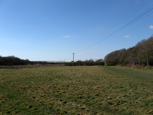
Image: © Simon Carey Taken: 7 Mar 2010
The name of the field according to the 1843 tithe map. Cooden Wood is on the right whilst beyond the western edge of the field Hooe Level begins.
Images are licensed for reuse under creativecommons.org/licenses/by-sa/2.0
Image Location


Leaflet Map data © OpenStreetMap
Latitude
50.839713
Longitude
0.422046