The Gorses
Introduction
The photograph on this page of The Gorses by Simon Carey as part of the Geograph project.
The Geograph project started in 2005 with the aim of publishing, organising and preserving representative images for every square kilometre of Great Britain, Ireland and the Isle of Man.

There are currently over 7.5m images from over 14,400 individuals and you can help contribute to the project by visiting https://www.geograph.org.uk
The Gorses
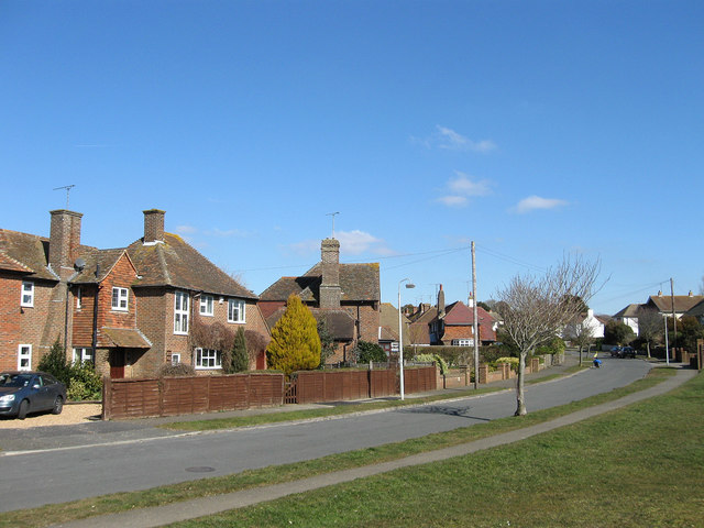
Image: © Simon Carey Taken: 7 Mar 2010
Residential road linking Cooden Sea Road, the B2182, with Withyam Road. The road had been laid out by 1930 with some development, particularly the houses on the left, occurred before the start of World War Two. The rest were constructed after the war.
Images are licensed for reuse under creativecommons.org/licenses/by-sa/2.0
Image Location
Latitude
50.834258
Longitude
0.429149