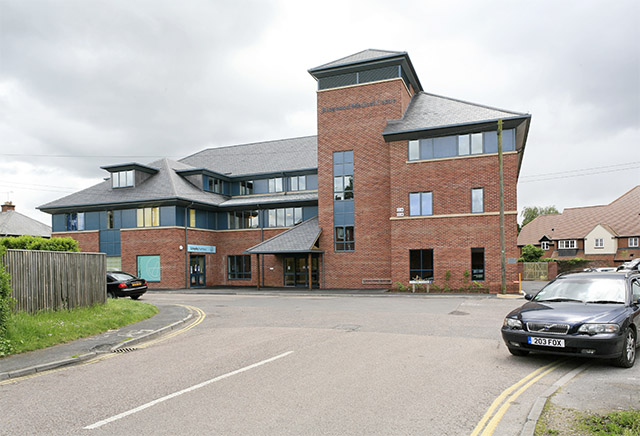
Ringwood Medical Centre, The Close
Introduction
The photograph on this page of Ringwood Medical Centre, The Close by Peter Facey as part of the Geograph project.
The Geograph project started in 2005 with the aim of publishing, organising and preserving representative images for every square kilometre of Great Britain, Ireland and the Isle of Man.
There are currently over 7.5m images from over 14,400 individuals and you can help contribute to the project by visiting https://www.geograph.org.uk

Image: © Peter Facey Taken: 23 May 2006
As I recall, in the 1950s GPs treated patients from rooms in their private homes. In the 1960s some Ringwood GPs clubbed together and built a Health Centre in the road behind the Post Office (then a through road to Mansfield Road, now The Close). A few years later, they built an even better one next door and turned the old one into a drop-in centre for elderly people. Around 2000, this was demolished and the present centre was built.

