Ashmead Housing Estate
Introduction
The photograph on this page of Ashmead Housing Estate by Kokai as part of the Geograph project.
The Geograph project started in 2005 with the aim of publishing, organising and preserving representative images for every square kilometre of Great Britain, Ireland and the Isle of Man.

There are currently over 7.5m images from over 14,400 individuals and you can help contribute to the project by visiting https://www.geograph.org.uk
Ashmead Housing Estate
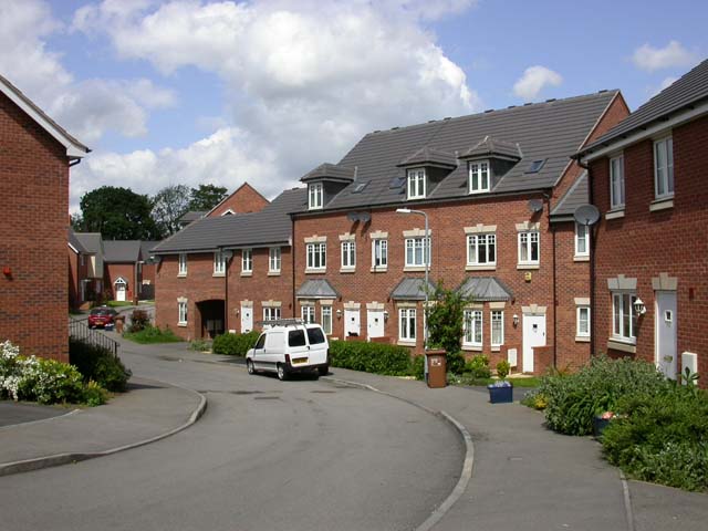
Image: © Kokai Taken: 23 May 2006
Ashmead appears to be very new and is not yet shown on the latest OS map.
Images are licensed for reuse under creativecommons.org/licenses/by-sa/2.0
Image Location
Latitude
52.255765
Longitude
-0.829421