Eastfield Estate
Introduction
The photograph on this page of Eastfield Estate by Weston Beggard as part of the Geograph project.
The Geograph project started in 2005 with the aim of publishing, organising and preserving representative images for every square kilometre of Great Britain, Ireland and the Isle of Man.

There are currently over 7.5m images from over 14,400 individuals and you can help contribute to the project by visiting https://www.geograph.org.uk
Eastfield Estate
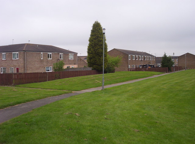
Image: © Weston Beggard Taken: 20 May 2006
The rear of Broomylinn Place and Byrness Row, from one of the pedestrian-only paths that criss-cross the estate.
Images are licensed for reuse under creativecommons.org/licenses/by-sa/2.0
Image Location
Latitude
55.091176
Longitude
-1.570672