Calcutt Farm
Introduction
The photograph on this page of Calcutt Farm by David Stowell as part of the Geograph project.
The Geograph project started in 2005 with the aim of publishing, organising and preserving representative images for every square kilometre of Great Britain, Ireland and the Isle of Man.

There are currently over 7.5m images from over 14,400 individuals and you can help contribute to the project by visiting https://www.geograph.org.uk
Calcutt Farm
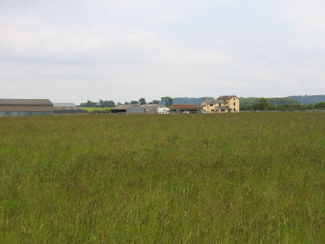
Image: © David Stowell Taken: 11 Jun 2005
Seen from the Public Footpath across the fields in this square. In the area surrounding the photographer is the site of the Medieval Village of Caldecote. Although marked on the map it is indistinguishable on the ground!
Images are licensed for reuse under creativecommons.org/licenses/by-sa/2.0
Image Location


Leaflet Map data © OpenStreetMap
Latitude
52.27401
Longitude
-1.322856