Witchampton: the Roman road from Sheephouse Drove
Introduction
The photograph on this page of Witchampton: the Roman road from Sheephouse Drove by Chris Downer as part of the Geograph project.
The Geograph project started in 2005 with the aim of publishing, organising and preserving representative images for every square kilometre of Great Britain, Ireland and the Isle of Man.

There are currently over 7.5m images from over 14,400 individuals and you can help contribute to the project by visiting https://www.geograph.org.uk
Witchampton: the Roman road from Sheephouse Drove
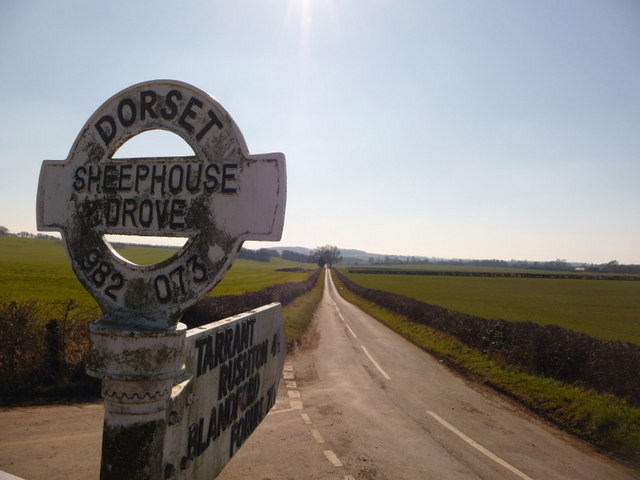
Image: © Chris Downer Taken: 7 Mar 2010
The straight course of a Roman road, running close to north from Badbury Rings, can be traced intermittently in this area – behind us, it peters out but the course can be rejoined farther north. For comment on the signpost, see Image
Images are licensed for reuse under creativecommons.org/licenses/by-sa/2.0
Image Location
Latitude
50.864213
Longitude
-2.028509