Medlock Valley Way, Bank Top
Introduction
The photograph on this page of Medlock Valley Way, Bank Top by michael ely as part of the Geograph project.
The Geograph project started in 2005 with the aim of publishing, organising and preserving representative images for every square kilometre of Great Britain, Ireland and the Isle of Man.

There are currently over 7.5m images from over 14,400 individuals and you can help contribute to the project by visiting https://www.geograph.org.uk
Medlock Valley Way, Bank Top
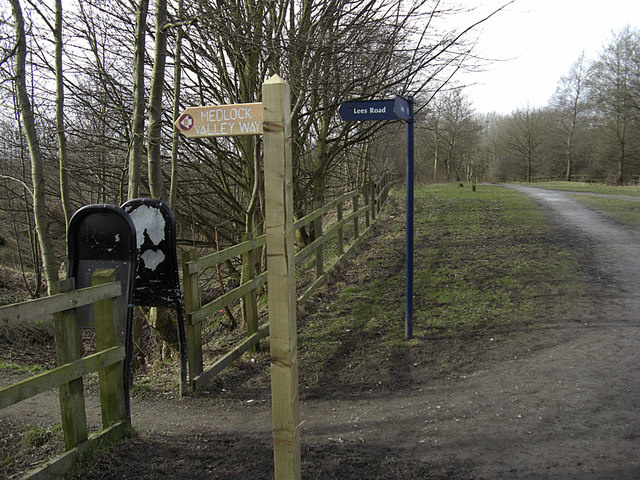
Image: © michael ely Taken: 3 Mar 2010
Looking west along the line of a disused railway that has now been converted to recreational use. The Medlock Valley Way heads left of shot towards Leesfield.
Images are licensed for reuse under creativecommons.org/licenses/by-sa/2.0
Image Location
Latitude
53.54072
Longitude
-2.076164