Crick, milestone
Introduction
The photograph on this page of Crick, milestone by Mike Faherty as part of the Geograph project.
The Geograph project started in 2005 with the aim of publishing, organising and preserving representative images for every square kilometre of Great Britain, Ireland and the Isle of Man.

There are currently over 7.5m images from over 14,400 individuals and you can help contribute to the project by visiting https://www.geograph.org.uk
Crick, milestone
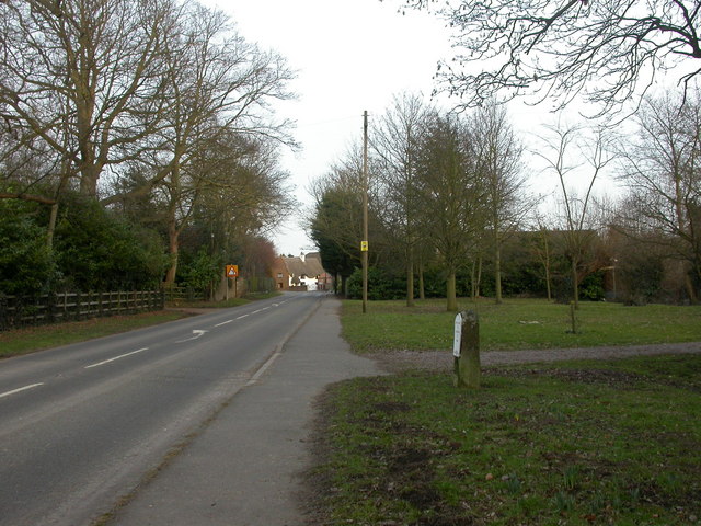
Image: © Mike Faherty Taken: 5 Mar 2010
Milestone on Main Road (old A428), replated, according to the inscription, by parish council in 2003. Distances to Northampton: 14, and Dunchurch 7 miles.
Images are licensed for reuse under creativecommons.org/licenses/by-sa/2.0
Image Location
Latitude
52.346278
Longitude
-1.140748