Croydon: Houses 169 to 161, Oval Road
Introduction
The photograph on this page of Croydon: Houses 169 to 161, Oval Road by Dr Neil Clifton as part of the Geograph project.
The Geograph project started in 2005 with the aim of publishing, organising and preserving representative images for every square kilometre of Great Britain, Ireland and the Isle of Man.

There are currently over 7.5m images from over 14,400 individuals and you can help contribute to the project by visiting https://www.geograph.org.uk
Croydon: Houses 169 to 161, Oval Road
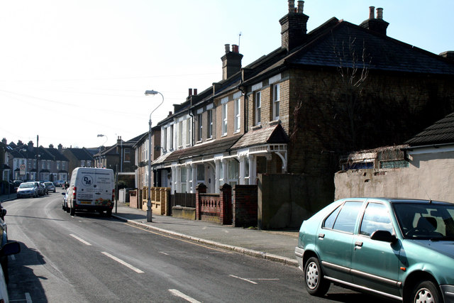
Image: © Dr Neil Clifton Taken: 5 Mar 2010
Oval Road is a road of strange shape and idiosyncratic house numbering. These houses are near the junction of Oval Road with Leslie Park Road.
Images are licensed for reuse under creativecommons.org/licenses/by-sa/2.0
Image Location
Latitude
51.378334
Longitude
-0.087501