Kenilworth, bridge
Introduction
The photograph on this page of Kenilworth, bridge by Mike Faherty as part of the Geograph project.
The Geograph project started in 2005 with the aim of publishing, organising and preserving representative images for every square kilometre of Great Britain, Ireland and the Isle of Man.

There are currently over 7.5m images from over 14,400 individuals and you can help contribute to the project by visiting https://www.geograph.org.uk
Kenilworth, bridge
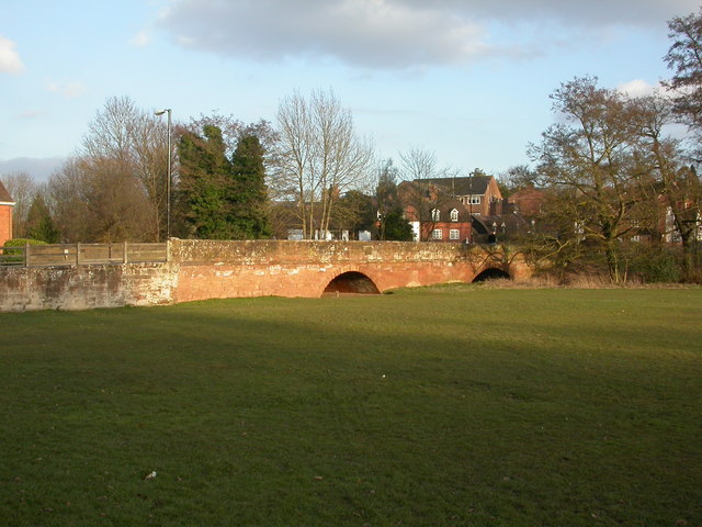
Image: © Mike Faherty Taken: 6 Mar 2010
C18 sandstone bridge on Bridge Street, over Finham Brook. The darker horizontal band over the arch shows water level in 1874. As seen from Abbey Fields; listed by English Heritage, http://www.imagesofengland.org.uk/Details/Default.aspx?id=307734&mode=adv
Images are licensed for reuse under creativecommons.org/licenses/by-sa/2.0
Image Location
Latitude
52.348473
Longitude
-1.579656