Footpath to the common
Introduction
The photograph on this page of Footpath to the common by Michael Dibb as part of the Geograph project.
The Geograph project started in 2005 with the aim of publishing, organising and preserving representative images for every square kilometre of Great Britain, Ireland and the Isle of Man.

There are currently over 7.5m images from over 14,400 individuals and you can help contribute to the project by visiting https://www.geograph.org.uk
Footpath to the common
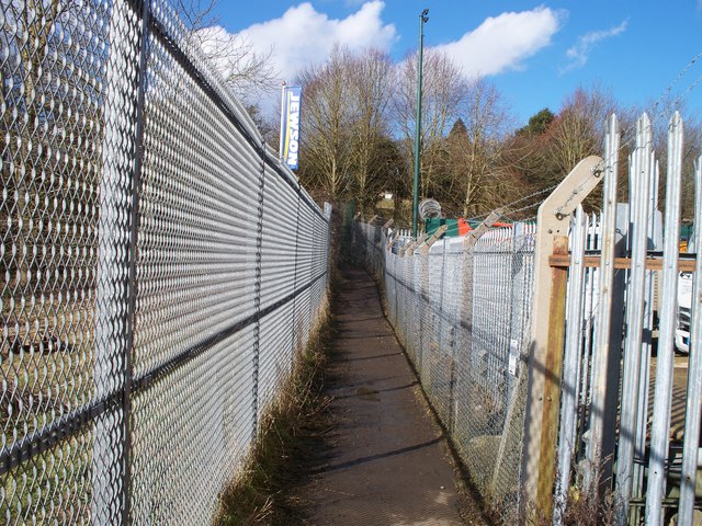
Image: © Michael Dibb Taken: 20 Feb 2010
The path passes between two plots of the Station Yard Industrial Estate. The through railway line ran just in front of the camera. The line was the Banbury to Cheltenham Direct, closed and dismantled in the 1960s.
Images are licensed for reuse under creativecommons.org/licenses/by-sa/2.0
Image Location
Latitude
51.939763
Longitude
-1.554973