Elaine Crescent (1), St Julians, Newport
Introduction
The photograph on this page of Elaine Crescent (1), St Julians, Newport by Jaggery as part of the Geograph project.
The Geograph project started in 2005 with the aim of publishing, organising and preserving representative images for every square kilometre of Great Britain, Ireland and the Isle of Man.

There are currently over 7.5m images from over 14,400 individuals and you can help contribute to the project by visiting https://www.geograph.org.uk
Elaine Crescent (1), St Julians, Newport
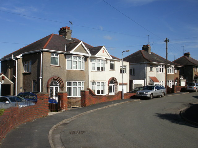
Image: © Jaggery Taken: 4 Mar 2010
The western end and eastern end of Elaine Crescent connect with Heather Road. The ends are about 100 metres apart. This view is of houses on the north side of the crescent, viewed from near the western end.
Images are licensed for reuse under creativecommons.org/licenses/by-sa/2.0
Image Location
Latitude
51.59938
Longitude
-2.975943