Whiting Bay
Introduction
The photograph on this page of Whiting Bay by Alan Walker as part of the Geograph project.
The Geograph project started in 2005 with the aim of publishing, organising and preserving representative images for every square kilometre of Great Britain, Ireland and the Isle of Man.

There are currently over 7.5m images from over 14,400 individuals and you can help contribute to the project by visiting https://www.geograph.org.uk
Whiting Bay
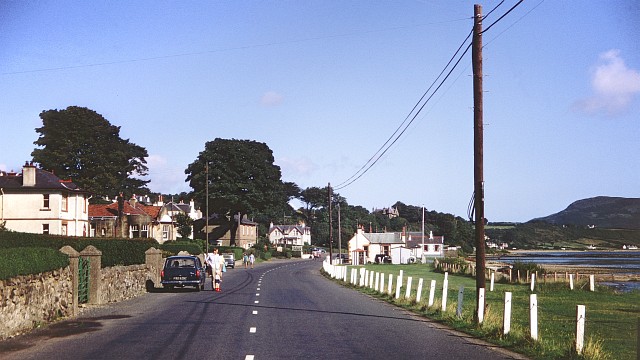
Image: © Alan Walker Taken: Unknown
This photograph of the A481 through Whiting Bay is facing north along the road to Lamlash and Brodick. For another photograph (2008) of the A481 about 0.5km south (behind the viewpoint), click here: http://www.geograph.org.uk/photo/1737260 . The Image is behind the viewpoint. - - - The data given for the date taken is the processing date on the slide and therefore could have been taken several weeks earlier.
Images are licensed for reuse under creativecommons.org/licenses/by-sa/2.0
Image Location
Latitude
55.48825
Longitude
-5.095083