2010 : Slaughterford parish church from the north
Introduction
The photograph on this page of 2010 : Slaughterford parish church from the north by Maurice Pullin as part of the Geograph project.
The Geograph project started in 2005 with the aim of publishing, organising and preserving representative images for every square kilometre of Great Britain, Ireland and the Isle of Man.

There are currently over 7.5m images from over 14,400 individuals and you can help contribute to the project by visiting https://www.geograph.org.uk
2010 : Slaughterford parish church from the north
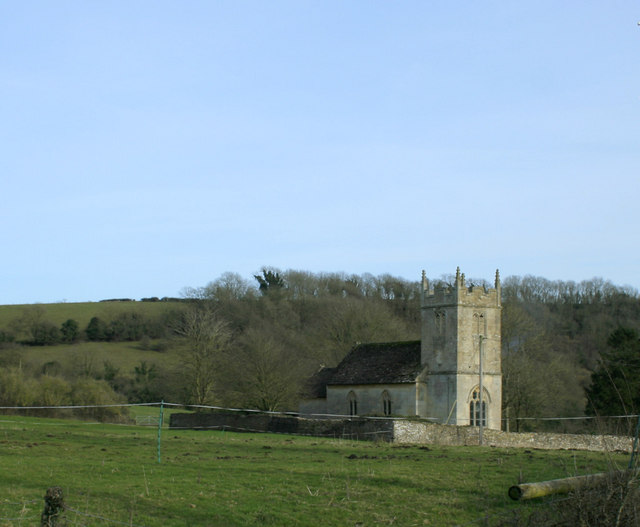
Image: © Maurice Pullin Taken: 2 Mar 2010
St.Nicholas, Slaughterford stands on a hill, well out of reach of the By Brook when it floods. The church has a website which is currently in need of an editor, any takers? http://www.achurchnearyou.com/slaughterford-st-nicholas/
Images are licensed for reuse under creativecommons.org/licenses/by-sa/2.0
Image Location
Latitude
51.46465
Longitude
-2.232719