Swing Swang Lane, Basingstoke
Introduction
The photograph on this page of Swing Swang Lane, Basingstoke by Andrew Smith as part of the Geograph project.
The Geograph project started in 2005 with the aim of publishing, organising and preserving representative images for every square kilometre of Great Britain, Ireland and the Isle of Man.

There are currently over 7.5m images from over 14,400 individuals and you can help contribute to the project by visiting https://www.geograph.org.uk
Swing Swang Lane, Basingstoke
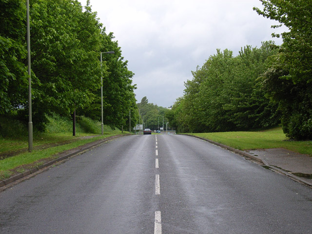
Image: © Andrew Smith Taken: 21 May 2006
Road linking the residential area of Little Basing with the industrial estates of Daneshill.
Images are licensed for reuse under creativecommons.org/licenses/by-sa/2.0
Image Location
Latitude
51.273293
Longitude
-1.062423