South Kenton: Langham Gardens
Introduction
The photograph on this page of South Kenton: Langham Gardens by Dr Neil Clifton as part of the Geograph project.
The Geograph project started in 2005 with the aim of publishing, organising and preserving representative images for every square kilometre of Great Britain, Ireland and the Isle of Man.

There are currently over 7.5m images from over 14,400 individuals and you can help contribute to the project by visiting https://www.geograph.org.uk
South Kenton: Langham Gardens
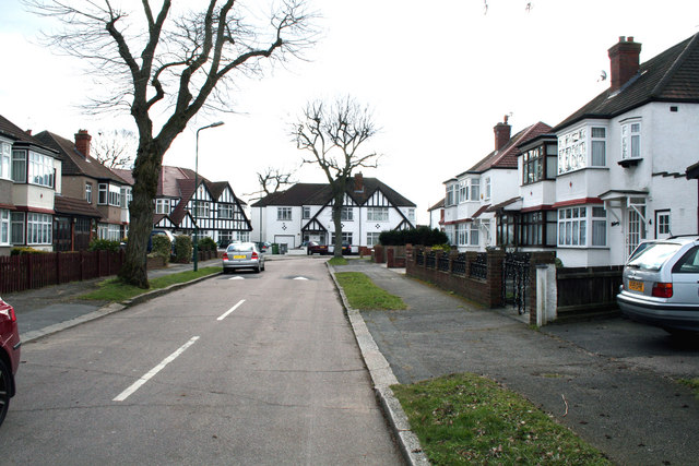
Image: © Dr Neil Clifton Taken: 4 Mar 2010
Looking south from the junction with Carlton Avenue West, a pair of 'semis' can be seen (far left) which still exemplify the full Mock Tudor style, as when they were built on the 1930s. At this point there is a sharp right hand bend in Langham Gardens, which then forms a T-junction with Oldborough Road.
Images are licensed for reuse under creativecommons.org/licenses/by-sa/2.0
Image Location
Latitude
51.567071
Longitude
-0.308868