South Kenton: Abbott's Drive
Introduction
The photograph on this page of South Kenton: Abbott's Drive by Dr Neil Clifton as part of the Geograph project.
The Geograph project started in 2005 with the aim of publishing, organising and preserving representative images for every square kilometre of Great Britain, Ireland and the Isle of Man.

There are currently over 7.5m images from over 14,400 individuals and you can help contribute to the project by visiting https://www.geograph.org.uk
South Kenton: Abbott's Drive
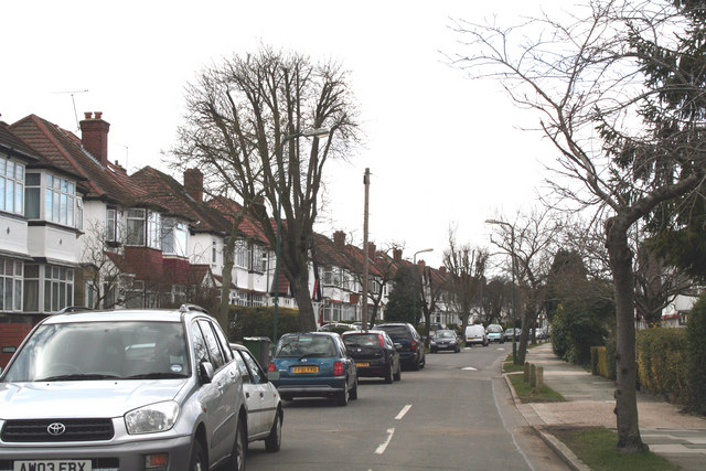
Image: © Dr Neil Clifton Taken: 4 Mar 2010
Looking west from its junction with Nathans Road, Abbotts Drive curves round gently and forms a T-junction with Norval Road at its far end.
Images are licensed for reuse under creativecommons.org/licenses/by-sa/2.0
Image Location
Latitude
51.567903
Longitude
-0.310424