Caerphilly Rd, Cardiff
Introduction
The photograph on this page of Caerphilly Rd, Cardiff by John Lord as part of the Geograph project.
The Geograph project started in 2005 with the aim of publishing, organising and preserving representative images for every square kilometre of Great Britain, Ireland and the Isle of Man.

There are currently over 7.5m images from over 14,400 individuals and you can help contribute to the project by visiting https://www.geograph.org.uk
Caerphilly Rd, Cardiff
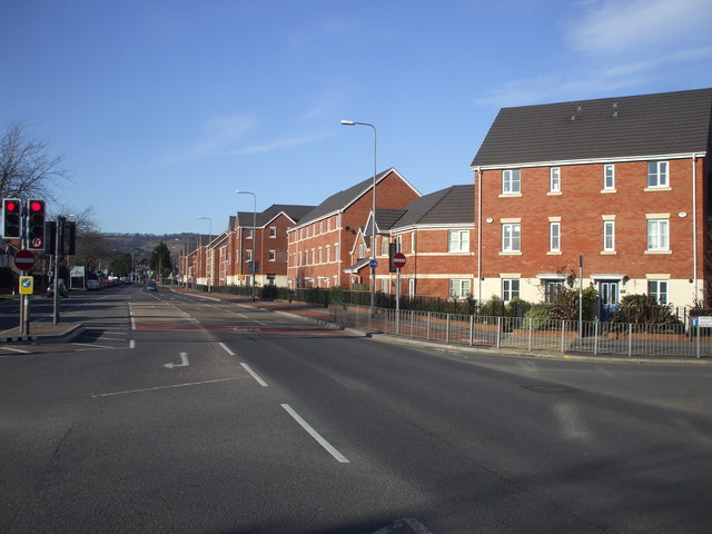
Image: © John Lord Taken: 4 Mar 2010
The apartments on the right are built on the site of the former Royal Ordnance Factory. Towards the end of its existence, this factory made parts for missiles, and so was the occasional scene of anti-nuclear demonstrations. The hill in the distance is Graig Llanishen, on which are the ruins of Castell Morgraig. On the right of the picture can be seen part of the name of the side street, Ffordd Morgraig, presumably named after Castell Morgraig ImageThe road sign actually says Ffordd Mograig, but this is surely a typo.
Images are licensed for reuse under creativecommons.org/licenses/by-sa/2.0
Image Location
Latitude
51.52337
Longitude
-3.201915