Halland Chapel, East Sussex
Introduction
The photograph on this page of Halland Chapel, East Sussex by nick macneill as part of the Geograph project.
The Geograph project started in 2005 with the aim of publishing, organising and preserving representative images for every square kilometre of Great Britain, Ireland and the Isle of Man.

There are currently over 7.5m images from over 14,400 individuals and you can help contribute to the project by visiting https://www.geograph.org.uk
Halland Chapel, East Sussex
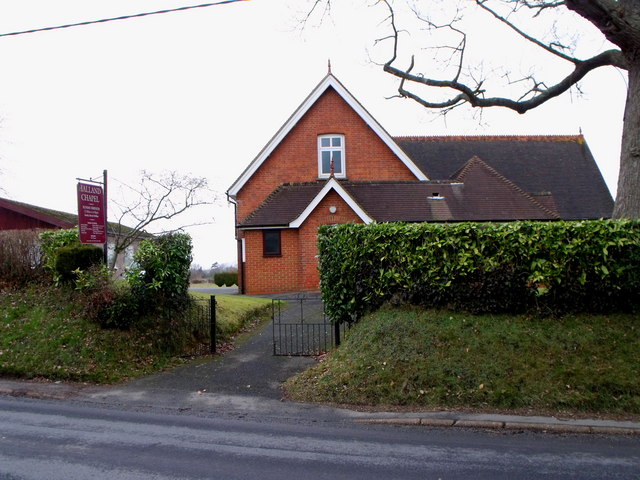
Image: © nick macneill Taken: 15 Feb 2010
The chapel was described as 'Halland Chapel Independent - Calvinistic', but is now with the new sign, just plain Halland Chapel.
Images are licensed for reuse under creativecommons.org/licenses/by-sa/2.0
Image Location
Latitude
50.927216
Longitude
0.132011