Bruce Street (western end), Belfast
Introduction
The photograph on this page of Bruce Street (western end), Belfast by Dean Molyneaux as part of the Geograph project.
The Geograph project started in 2005 with the aim of publishing, organising and preserving representative images for every square kilometre of Great Britain, Ireland and the Isle of Man.

There are currently over 7.5m images from over 14,400 individuals and you can help contribute to the project by visiting https://www.geograph.org.uk
Bruce Street (western end), Belfast
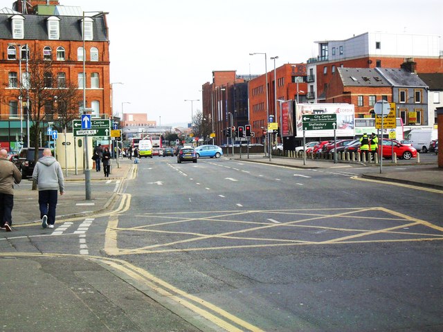
Image: © Dean Molyneaux Taken: 3 Mar 2010
Taken from the corner of St. Andrew's Square on Hope Street. In the early 1980s the buildings that would have stood in the centre of this image were cleared to make way for this inner-city arterial route linking Sandy Row with the Dublin Road. The original course of Hope Street is visible in the image (veering to left) and on Google Maps Satellite imagery. Bruce Street, back then, only existed further west - a narrow side street off the Dublin Road - see Image
Images are licensed for reuse under creativecommons.org/licenses/by-sa/2.0
Image Location
Latitude
54.593258
Longitude
-5.934147