A30 Sherborne Road - Yeovil
Introduction
The photograph on this page of A30 Sherborne Road - Yeovil by Sarah Smith as part of the Geograph project.
The Geograph project started in 2005 with the aim of publishing, organising and preserving representative images for every square kilometre of Great Britain, Ireland and the Isle of Man.

There are currently over 7.5m images from over 14,400 individuals and you can help contribute to the project by visiting https://www.geograph.org.uk
A30 Sherborne Road - Yeovil
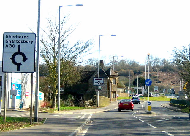
Image: © Sarah Smith Taken: 4 Mar 2010
The Sherborne Road reaches the roundabout and the gridline and the Dorset border just before Babylon Hill which is in the background. The stone building on the left is the Yeovil Bridge Tollhouse - please see Image
Images are licensed for reuse under creativecommons.org/licenses/by-sa/2.0
Image Location
Latitude
50.94203
Longitude
-2.609125