River Bourne at Newton Tony
Introduction
The photograph on this page of River Bourne at Newton Tony by Jonathan Billinger as part of the Geograph project.
The Geograph project started in 2005 with the aim of publishing, organising and preserving representative images for every square kilometre of Great Britain, Ireland and the Isle of Man.

There are currently over 7.5m images from over 14,400 individuals and you can help contribute to the project by visiting https://www.geograph.org.uk
River Bourne at Newton Tony
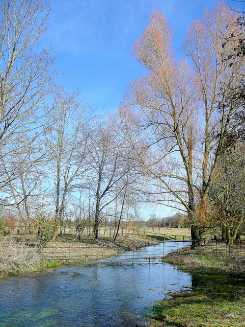
Image: © Jonathan Billinger Taken: 4 Mar 2010
A seasonal chalk stream, well-filled with the winter's rain and snowmelt.
Images are licensed for reuse under creativecommons.org/licenses/by-sa/2.0
Image Location
Latitude
51.164595
Longitude
-1.689609