Eliot Close
Introduction
The photograph on this page of Eliot Close by Steve McShane as part of the Geograph project.
The Geograph project started in 2005 with the aim of publishing, organising and preserving representative images for every square kilometre of Great Britain, Ireland and the Isle of Man.

There are currently over 7.5m images from over 14,400 individuals and you can help contribute to the project by visiting https://www.geograph.org.uk
Eliot Close
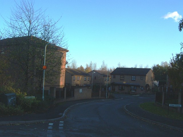
Image: © Steve McShane Taken: 12 Nov 2005
The road now turns into the close - formerly went straight down to the left and under the Eastern Primary towards Nedge Hill. Here is new housing - this used to be open land where a cub scout hut used to be.
Images are licensed for reuse under creativecommons.org/licenses/by-sa/2.0
Image Location
Latitude
52.659045
Longitude
-2.4287