The A493 approaching Bryncrug from the north west
Introduction
The photograph on this page of The A493 approaching Bryncrug from the north west by Nigel Brown as part of the Geograph project.
The Geograph project started in 2005 with the aim of publishing, organising and preserving representative images for every square kilometre of Great Britain, Ireland and the Isle of Man.

There are currently over 7.5m images from over 14,400 individuals and you can help contribute to the project by visiting https://www.geograph.org.uk
The A493 approaching Bryncrug from the north west
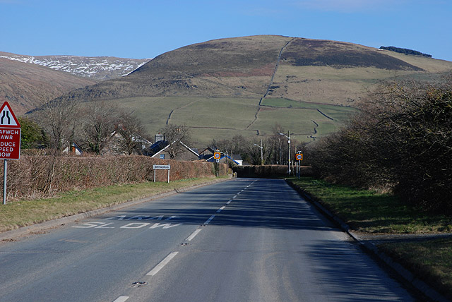
Image: © Nigel Brown Taken: 4 Mar 2010
The reasonably wide road about to narrow considerably as it enters the village.
Images are licensed for reuse under creativecommons.org/licenses/by-sa/2.0
Image Location


Leaflet Map data © OpenStreetMap
Latitude
52.61028
Longitude
-4.058846