Houses by the B1113
Introduction
The photograph on this page of Houses by the B1113 by Andrew Hill as part of the Geograph project.
The Geograph project started in 2005 with the aim of publishing, organising and preserving representative images for every square kilometre of Great Britain, Ireland and the Isle of Man.

There are currently over 7.5m images from over 14,400 individuals and you can help contribute to the project by visiting https://www.geograph.org.uk
Houses by the B1113
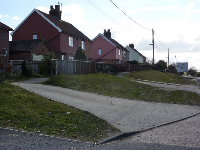
Image: © Andrew Hill Taken: 4 Mar 2010
North of the junction with the road left to Bramford and two lanes heading right, to Somersham and Flowton.
Images are licensed for reuse under creativecommons.org/licenses/by-sa/2.0
Image Location
Latitude
52.08464
Longitude
1.09149