Farfield Avenue
Introduction
The photograph on this page of Farfield Avenue by David Lally as part of the Geograph project.
The Geograph project started in 2005 with the aim of publishing, organising and preserving representative images for every square kilometre of Great Britain, Ireland and the Isle of Man.

There are currently over 7.5m images from over 14,400 individuals and you can help contribute to the project by visiting https://www.geograph.org.uk
Farfield Avenue
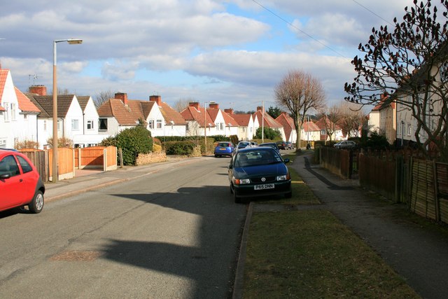
Image: © David Lally Taken: 4 Mar 2010
Just off the northern end of Wollaton Road, Beeston. This is part of a medium size municipal housing estate from between the wars. The border between The Borough of Broxtowe and The City of Nottingham passes pretty much unnoticed through the eastern side of the estate as it approaches Woodside Road and the district of Lenton Abbey.
Images are licensed for reuse under creativecommons.org/licenses/by-sa/2.0
Image Location
Latitude
52.934536
Longitude
-1.22157