Field near Eastbridge
Introduction
The photograph on this page of Field near Eastbridge by David Squire as part of the Geograph project.
The Geograph project started in 2005 with the aim of publishing, organising and preserving representative images for every square kilometre of Great Britain, Ireland and the Isle of Man.

There are currently over 7.5m images from over 14,400 individuals and you can help contribute to the project by visiting https://www.geograph.org.uk
Field near Eastbridge
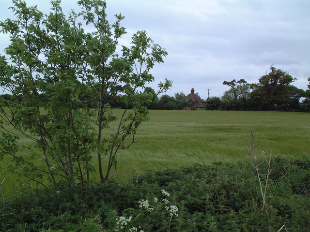
Image: © David Squire Taken: 21 May 2006
Across this field south of Eastbridge is a cottage known as "The Round House", which appears to be rectangular in plan although on a triangular plot. Currently derelict, there is evidence of building work now starting and no doubt within the year it will be occupied again.
Images are licensed for reuse under creativecommons.org/licenses/by-sa/2.0
Image Location


Leaflet Map data © OpenStreetMap
Latitude
52.231167
Longitude
1.592225