Approaching Hook Norton
Introduction
The photograph on this page of Approaching Hook Norton by Michael Dibb as part of the Geograph project.
The Geograph project started in 2005 with the aim of publishing, organising and preserving representative images for every square kilometre of Great Britain, Ireland and the Isle of Man.

There are currently over 7.5m images from over 14,400 individuals and you can help contribute to the project by visiting https://www.geograph.org.uk
Approaching Hook Norton
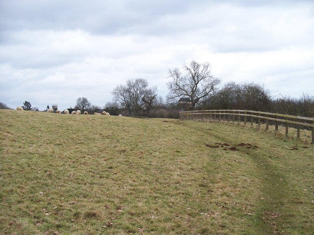
Image: © Michael Dibb Taken: 14 Feb 2010
The path from Traitor's Ford Lane passes through this field near Hook Norton. The top of the church tower and the top of the brewery can be seen.
Images are licensed for reuse under creativecommons.org/licenses/by-sa/2.0
Image Location


Leaflet Map data © OpenStreetMap
Latitude
51.999143
Longitude
-1.498014