Lower James Street, Argoed
Introduction
The photograph on this page of Lower James Street, Argoed by Jaggery as part of the Geograph project.
The Geograph project started in 2005 with the aim of publishing, organising and preserving representative images for every square kilometre of Great Britain, Ireland and the Isle of Man.

There are currently over 7.5m images from over 14,400 individuals and you can help contribute to the project by visiting https://www.geograph.org.uk
Lower James Street, Argoed
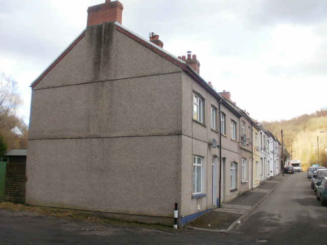
Image: © Jaggery Taken: 1 Mar 2010
Viewed from the edge of the Sirhowy river. The nearer half of the terrace is Lower James Street, the distant half is Upper James Street. http://www.geograph.org.uk/photo/1734941
Images are licensed for reuse under creativecommons.org/licenses/by-sa/2.0
Image Location
Latitude
51.690028
Longitude
-3.18911