Farmland near Knodishall
Introduction
The photograph on this page of Farmland near Knodishall by David Squire as part of the Geograph project.
The Geograph project started in 2005 with the aim of publishing, organising and preserving representative images for every square kilometre of Great Britain, Ireland and the Isle of Man.

There are currently over 7.5m images from over 14,400 individuals and you can help contribute to the project by visiting https://www.geograph.org.uk
Farmland near Knodishall
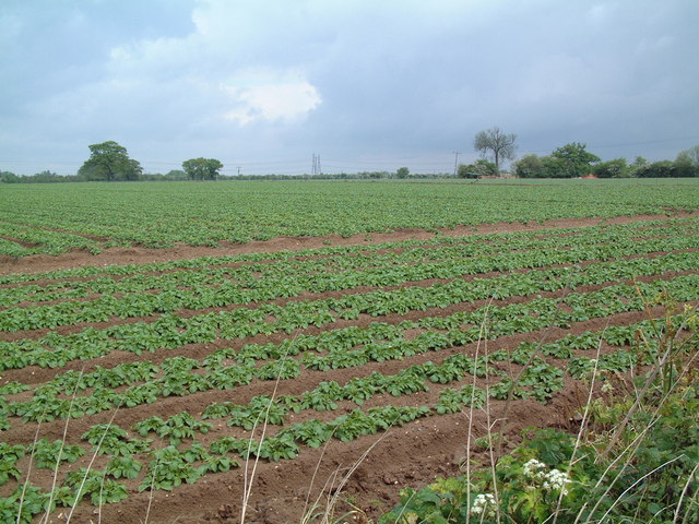
Image: © David Squire Taken: 21 May 2006
The light, sandy soil typical of this part of Suffolk can be seen clearly in this field; the electricity pylons in the distance are two grid squares away.
Images are licensed for reuse under creativecommons.org/licenses/by-sa/2.0
Image Location
Latitude
52.184083
Longitude
1.543062