Playing Fields
Introduction
The photograph on this page of Playing Fields by Steve McShane as part of the Geograph project.
The Geograph project started in 2005 with the aim of publishing, organising and preserving representative images for every square kilometre of Great Britain, Ireland and the Isle of Man.

There are currently over 7.5m images from over 14,400 individuals and you can help contribute to the project by visiting https://www.geograph.org.uk
Playing Fields
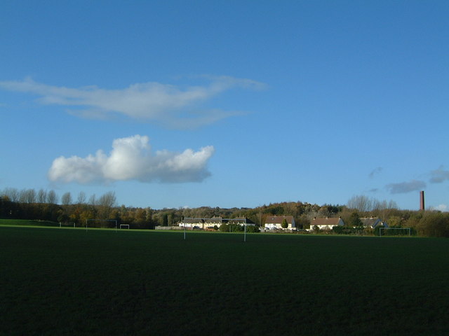
Image: © Steve McShane Taken: 12 Nov 2005
The football fields run by Stirchley Recreation Centre.In the background (central) are the cottages on Stirchley Lane, and (right) Randlay Chimney.
Images are licensed for reuse under creativecommons.org/licenses/by-sa/2.0
Image Location
Latitude
52.656305
Longitude
-2.440499