Stirchley Recreation Centre
Introduction
The photograph on this page of Stirchley Recreation Centre by Steve McShane as part of the Geograph project.
The Geograph project started in 2005 with the aim of publishing, organising and preserving representative images for every square kilometre of Great Britain, Ireland and the Isle of Man.

There are currently over 7.5m images from over 14,400 individuals and you can help contribute to the project by visiting https://www.geograph.org.uk
Stirchley Recreation Centre
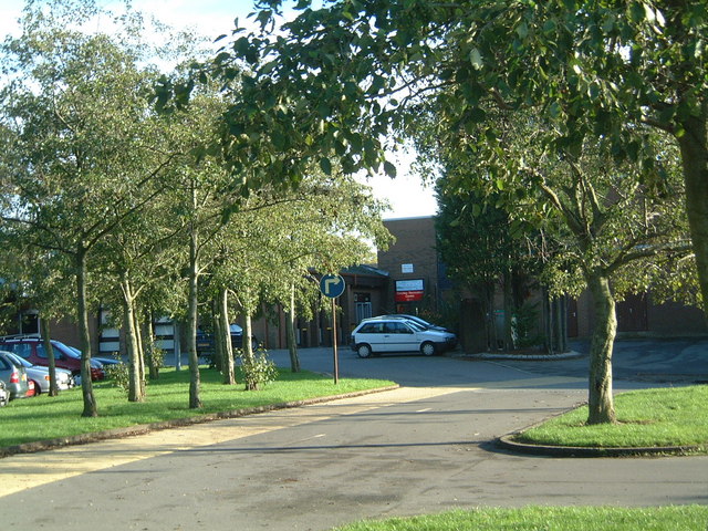
Image: © Steve McShane Taken: 12 Nov 2005
View of the entrance (complete with new corporate signing) to the Sports Centre. It acts as the sports area for the adjoining school, Lord Silkin.
Images are licensed for reuse under creativecommons.org/licenses/by-sa/2.0
Image Location


Leaflet Map data © OpenStreetMap
Latitude
52.655417
Longitude
-2.437534