Steep climb on Cwrt-y-Bella approaching Darran Farm
Introduction
The photograph on this page of Steep climb on Cwrt-y-Bella approaching Darran Farm by Jaggery as part of the Geograph project.
The Geograph project started in 2005 with the aim of publishing, organising and preserving representative images for every square kilometre of Great Britain, Ireland and the Isle of Man.

There are currently over 7.5m images from over 14,400 individuals and you can help contribute to the project by visiting https://www.geograph.org.uk
Steep climb on Cwrt-y-Bella approaching Darran Farm
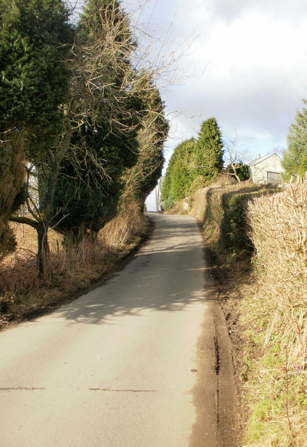
Image: © Jaggery Taken: 1 Mar 2010
The AZ South Wales Valleys East Street Atlas is very useful on walks, showing many features in addition to streets, but contours are not shown. Thus I did not know what lay ahead along Cwrt-y-Bella, from the B4251 to Gwrhay. This photo shows a steep climb along the edge of Darran Farm.
Images are licensed for reuse under creativecommons.org/licenses/by-sa/2.0
Image Location
Latitude
51.687404
Longitude
-3.181808