Confluence of stream and bridle crossing at rear of Quilter Meadow
Introduction
The photograph on this page of Confluence of stream and bridle crossing at rear of Quilter Meadow by Shirley Jones as part of the Geograph project.
The Geograph project started in 2005 with the aim of publishing, organising and preserving representative images for every square kilometre of Great Britain, Ireland and the Isle of Man.

There are currently over 7.5m images from over 14,400 individuals and you can help contribute to the project by visiting https://www.geograph.org.uk
Confluence of stream and bridle crossing at rear of Quilter Meadow
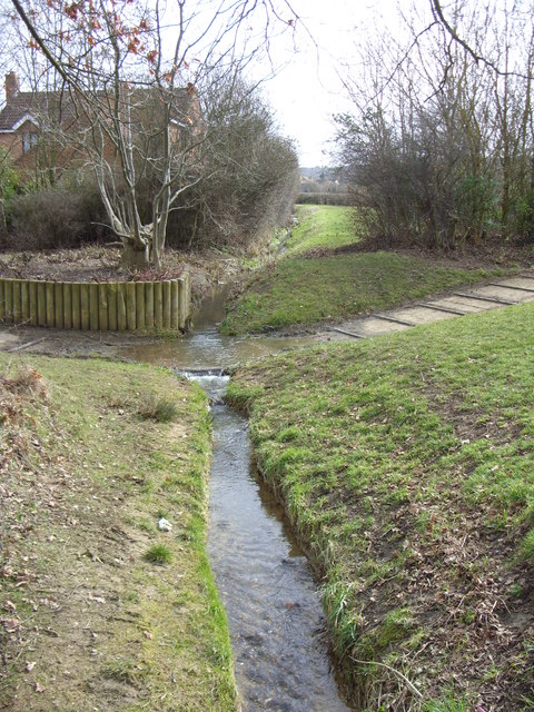
Image: © Shirley Jones Taken: 3 Mar 2010
From the Bowbrick Hills this small stream travels through paddocks to meet another at this point and then turns south west. A crossing point for horses has been created by the Parks Trust which manages this linear parkland.
Images are licensed for reuse under creativecommons.org/licenses/by-sa/2.0
Image Location
Latitude
52.015165
Longitude
-0.676294