Footpath and bridle path through parkland
Introduction
The photograph on this page of Footpath and bridle path through parkland by Shirley Jones as part of the Geograph project.
The Geograph project started in 2005 with the aim of publishing, organising and preserving representative images for every square kilometre of Great Britain, Ireland and the Isle of Man.

There are currently over 7.5m images from over 14,400 individuals and you can help contribute to the project by visiting https://www.geograph.org.uk
Footpath and bridle path through parkland
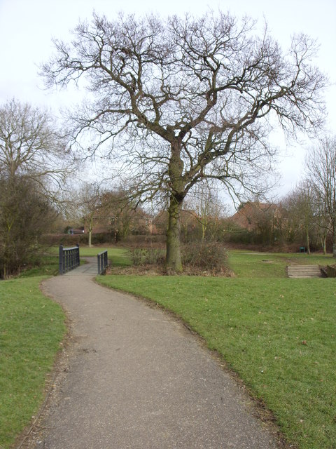
Image: © Shirley Jones Taken: 3 Mar 2010
Approach to a small footbridge over the Old Farm Park stream which sees a tributary from the east joining the main flow at this point by the tree. To the right can be seen the crossing for riders who walk their steeds through the shallow water.
Images are licensed for reuse under creativecommons.org/licenses/by-sa/2.0
Image Location
Latitude
52.015884
Longitude
-0.676273