Sheltered housing
Introduction
The photograph on this page of Sheltered housing by Shirley Jones as part of the Geograph project.
The Geograph project started in 2005 with the aim of publishing, organising and preserving representative images for every square kilometre of Great Britain, Ireland and the Isle of Man.

There are currently over 7.5m images from over 14,400 individuals and you can help contribute to the project by visiting https://www.geograph.org.uk
Sheltered housing
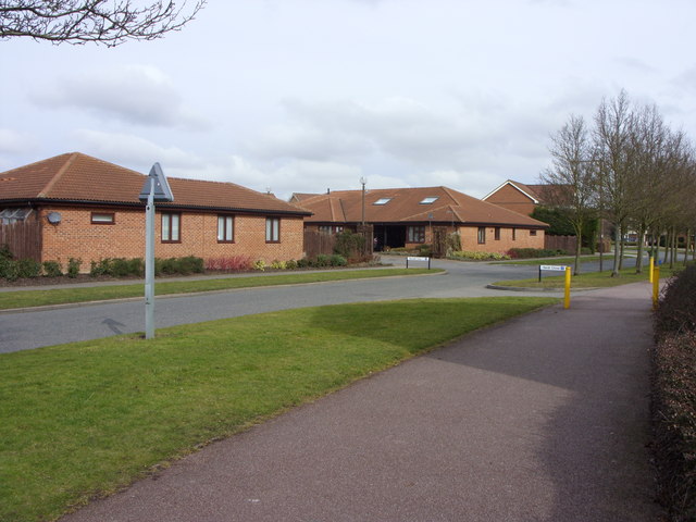
Image: © Shirley Jones Taken: 3 Mar 2010
Low level accessible homes at Old Farm Park with access onto Boyce Crescent close to the junction with Verdi Close.
Images are licensed for reuse under creativecommons.org/licenses/by-sa/2.0
Image Location
Latitude
52.01643
Longitude
-0.676839