Taylor's Avenue, Carrickfergus (1)
Introduction
The photograph on this page of Taylor's Avenue, Carrickfergus (1) by Albert Bridge as part of the Geograph project.
The Geograph project started in 2005 with the aim of publishing, organising and preserving representative images for every square kilometre of Great Britain, Ireland and the Isle of Man.

There are currently over 7.5m images from over 14,400 individuals and you can help contribute to the project by visiting https://www.geograph.org.uk
Taylor's Avenue, Carrickfergus (1)
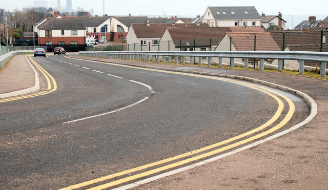
Image: © Albert Bridge Taken: 3 Mar 2010
Quite a long stretch of urban road, Taylor’s Avenue runs from Green Street and the Scotch Quarter up to Prince Andrew Way. This is the view towards the former, approaching the railway bridge Image close to what used to be Barn station Image Continue to Image
Images are licensed for reuse under creativecommons.org/licenses/by-sa/2.0
Image Location
Latitude
54.719171
Longitude
-5.798299