The Stafford Road / Cannock Road junction
Introduction
The photograph on this page of The Stafford Road / Cannock Road junction by Richard Law as part of the Geograph project.
The Geograph project started in 2005 with the aim of publishing, organising and preserving representative images for every square kilometre of Great Britain, Ireland and the Isle of Man.

There are currently over 7.5m images from over 14,400 individuals and you can help contribute to the project by visiting https://www.geograph.org.uk
The Stafford Road / Cannock Road junction
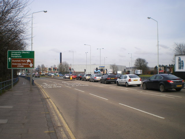
Image: © Richard Law Taken: 3 Mar 2010
One of the major intersections of Wolverhampton, where the A449 and the A460 come together (or diverge, depending on your point of view). Prior to its demolition to make way for the DIY store here, the Elephant and Castle pub overlooked this junction, complete with a tile sculpture, featuring mahouts, above the main doorway (Thanks to John M for this info)
Images are licensed for reuse under creativecommons.org/licenses/by-sa/2.0
Image Location
Latitude
52.592511
Longitude
-2.126022