Memorial Close, Willenhall from Field Street.
Introduction
The photograph on this page of Memorial Close, Willenhall from Field Street. by Tim Marshall as part of the Geograph project.
The Geograph project started in 2005 with the aim of publishing, organising and preserving representative images for every square kilometre of Great Britain, Ireland and the Isle of Man.

There are currently over 7.5m images from over 14,400 individuals and you can help contribute to the project by visiting https://www.geograph.org.uk
Memorial Close, Willenhall from Field Street.
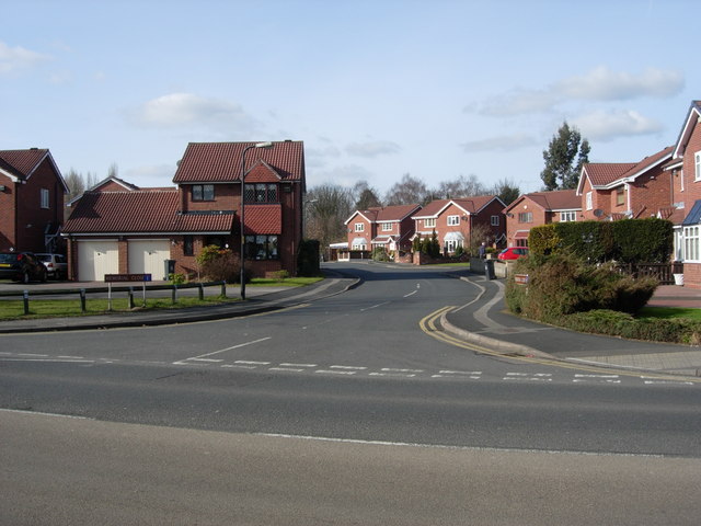
Image: © Tim Marshall Taken: 2 Mar 2010
This estate was built on the site of the goods yard of the former Willenhall Stafford Street Station which was closed and demolished in 1965.
Images are licensed for reuse under creativecommons.org/licenses/by-sa/2.0
Image Location
Latitude
52.58681
Longitude
-2.058258