West Thirston Pillbox
Introduction
The photograph on this page of West Thirston Pillbox by David Clark as part of the Geograph project.
The Geograph project started in 2005 with the aim of publishing, organising and preserving representative images for every square kilometre of Great Britain, Ireland and the Isle of Man.

There are currently over 7.5m images from over 14,400 individuals and you can help contribute to the project by visiting https://www.geograph.org.uk
West Thirston Pillbox
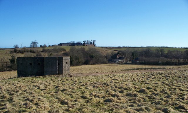
Image: © David Clark Taken: 2 Mar 2010
With Thirston Mill in the near distance alongside Thirston Burn which runs in front of the trees. Up on the hill is East Thirston.
Images are licensed for reuse under creativecommons.org/licenses/by-sa/2.0
Image Location
Latitude
55.292941
Longitude
-1.701405