Woodburn Street
Introduction
The photograph on this page of Woodburn Street by Weston Beggard as part of the Geograph project.
The Geograph project started in 2005 with the aim of publishing, organising and preserving representative images for every square kilometre of Great Britain, Ireland and the Isle of Man.

There are currently over 7.5m images from over 14,400 individuals and you can help contribute to the project by visiting https://www.geograph.org.uk
Woodburn Street
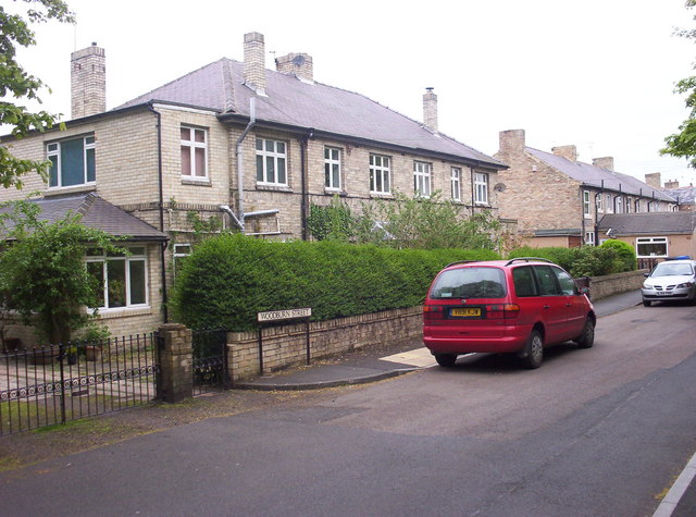
Image: © Weston Beggard Taken: 20 May 2006
Solidly built houses in Stobswood.
Images are licensed for reuse under creativecommons.org/licenses/by-sa/2.0
Image Location


Leaflet Map data © OpenStreetMap
Latitude
55.244138
Longitude
-1.631938