Track Bed, closed Walsall - Wolverhampton Line at Willenhall - 2010.
Introduction
The photograph on this page of Track Bed, closed Walsall - Wolverhampton Line at Willenhall - 2010. by Tim Marshall as part of the Geograph project.
The Geograph project started in 2005 with the aim of publishing, organising and preserving representative images for every square kilometre of Great Britain, Ireland and the Isle of Man.

There are currently over 7.5m images from over 14,400 individuals and you can help contribute to the project by visiting https://www.geograph.org.uk
Track Bed, closed Walsall - Wolverhampton Line at Willenhall - 2010.
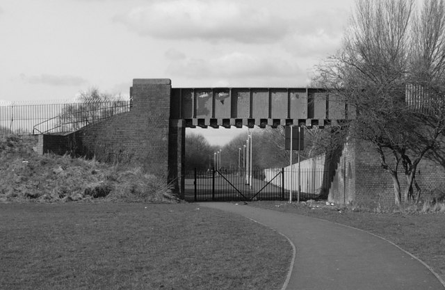
Image: © Tim Marshall Taken: 2 Mar 2010
Track bed of closed Walsall - Wolverhampton line just short of the "Iron Bridge", looking towards Noose Lane and Wednesfield,2010. This is an up to date shot of my previous submission http://www.geograph.org.uk/photo/1584212. Things have certainly changed in the last 32 years.
Images are licensed for reuse under creativecommons.org/licenses/by-sa/2.0
Image Location
Latitude
52.588786
Longitude
-2.063427