Park Crescent
Introduction
The photograph on this page of Park Crescent by Lairich Rig as part of the Geograph project.
The Geograph project started in 2005 with the aim of publishing, organising and preserving representative images for every square kilometre of Great Britain, Ireland and the Isle of Man.

There are currently over 7.5m images from over 14,400 individuals and you can help contribute to the project by visiting https://www.geograph.org.uk
Park Crescent
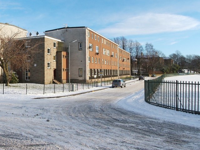
Image: © Lairich Rig Taken: 8 Jan 2010
Park Crescent is shown here from the point where it leaves Overburn Avenue, part of which is visible in the foreground; compare the later Image, a wider view. The red sandstone building visible through the trees at the end of the road is Braehead Primary School. Work took place on the buildings of Park Crescent in 2018. It is shown during that work in Image, and shortly after its completion in Image
Images are licensed for reuse under creativecommons.org/licenses/by-sa/2.0
Image Location
Latitude
55.950816
Longitude
-4.565594