School Gardens
Introduction
The photograph on this page of School Gardens by Natasha Ceridwen de Chroustchoff as part of the Geograph project.
The Geograph project started in 2005 with the aim of publishing, organising and preserving representative images for every square kilometre of Great Britain, Ireland and the Isle of Man.

There are currently over 7.5m images from over 14,400 individuals and you can help contribute to the project by visiting https://www.geograph.org.uk
School Gardens
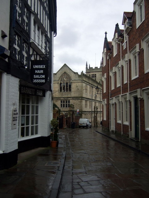
Image: © Natasha Ceridwen de Chroustchoff Taken: 4 Feb 2010
Lane so called because it was once the site of the gardens belonging to Shrewsbury School, now the library, seen beyond. Formerly it was called Rotton Lane and there were jails at each end.
Images are licensed for reuse under creativecommons.org/licenses/by-sa/2.0
Image Location
Latitude
52.709937
Longitude
-2.751725