Looking up Shoplatch
Introduction
The photograph on this page of Looking up Shoplatch by Natasha Ceridwen de Chroustchoff as part of the Geograph project.
The Geograph project started in 2005 with the aim of publishing, organising and preserving representative images for every square kilometre of Great Britain, Ireland and the Isle of Man.

There are currently over 7.5m images from over 14,400 individuals and you can help contribute to the project by visiting https://www.geograph.org.uk
Looking up Shoplatch
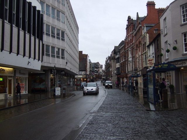
Image: © Natasha Ceridwen de Chroustchoff Taken: 3 Feb 2010
Towards Mardol Head. The Market Hall is across the street on the left. The name Shoplatch is thought to derive from a family called Schutte who owned property in the area since in 1295 the street was referred to as 'Scheteplache'.
Images are licensed for reuse under creativecommons.org/licenses/by-sa/2.0
Image Location
Latitude
52.707849
Longitude
-2.754798