Underpass
Introduction
The photograph on this page of Underpass by Weston Beggard as part of the Geograph project.
The Geograph project started in 2005 with the aim of publishing, organising and preserving representative images for every square kilometre of Great Britain, Ireland and the Isle of Man.

There are currently over 7.5m images from over 14,400 individuals and you can help contribute to the project by visiting https://www.geograph.org.uk
Underpass
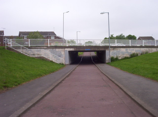
Image: © Weston Beggard Taken: 20 May 2006
New Town planners couldn't get enough of traffic/pedestrian segregation, and Cramlington is no exception. This particular subway connects Parkside estate with Cramlington Village.
Images are licensed for reuse under creativecommons.org/licenses/by-sa/2.0
Image Location
Latitude
55.09123
Longitude
-1.586339