The Oast House
Introduction
The photograph on this page of The Oast House by David Anstiss as part of the Geograph project.
The Geograph project started in 2005 with the aim of publishing, organising and preserving representative images for every square kilometre of Great Britain, Ireland and the Isle of Man.

There are currently over 7.5m images from over 14,400 individuals and you can help contribute to the project by visiting https://www.geograph.org.uk
The Oast House
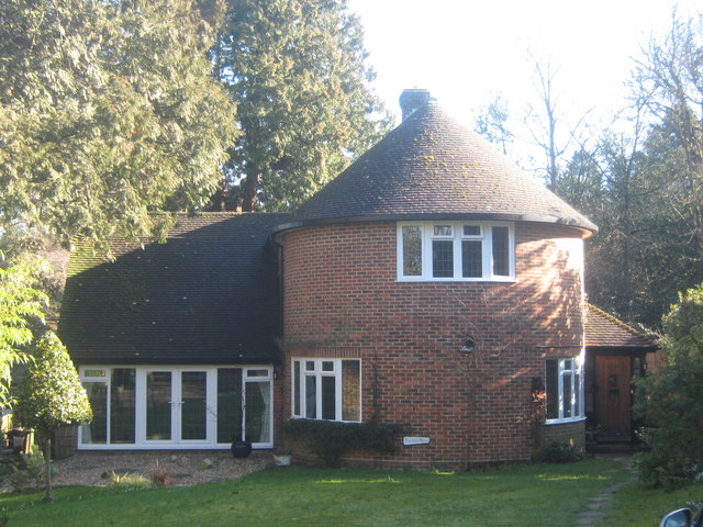
Image: © David Anstiss Taken: 1 Mar 2010
Modern Oast House on Manor Park Road. Built in 1966 (or near after). As 'Plot H' of land at Bishops Down Grange.
Images are licensed for reuse under creativecommons.org/licenses/by-sa/2.0
Image Location
Latitude
51.132946
Longitude
0.247091