Little Ouse River by Rushford
Introduction
The photograph on this page of Little Ouse River by Rushford by Evelyn Simak as part of the Geograph project.
The Geograph project started in 2005 with the aim of publishing, organising and preserving representative images for every square kilometre of Great Britain, Ireland and the Isle of Man.

There are currently over 7.5m images from over 14,400 individuals and you can help contribute to the project by visiting https://www.geograph.org.uk
Little Ouse River by Rushford
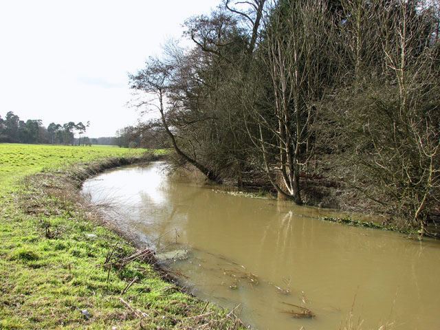
Image: © Evelyn Simak Taken: 1 Mar 2010
Due to recent heavy rainfalls the water in the river is high and murky and many of the adjoining pastures are flooded. The name Rushford comes from the original crossing point, a ford on the Little Ouse River, which here forms the boundary between Norfolk and Suffolk.
Images are licensed for reuse under creativecommons.org/licenses/by-sa/2.0
Image Location
Latitude
52.394809
Longitude
0.826619