Path to Pentrebychan Road
Introduction
The photograph on this page of Path to Pentrebychan Road by Geoff Evans as part of the Geograph project.
The Geograph project started in 2005 with the aim of publishing, organising and preserving representative images for every square kilometre of Great Britain, Ireland and the Isle of Man.

There are currently over 7.5m images from over 14,400 individuals and you can help contribute to the project by visiting https://www.geograph.org.uk
Path to Pentrebychan Road
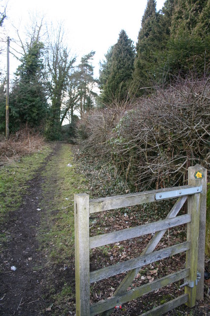
Image: © Geoff Evans Taken: 1 Mar 2010
This well used path accessible from the B5605 near to packsaddle bridge promises an interesting walk.
Images are licensed for reuse under creativecommons.org/licenses/by-sa/2.0
Image Location
Latitude
53.022962
Longitude
-3.037443